Weekend in Champsaur

Gap Medium
Weekend in Champsaur
2j
54,9km
+1476m
-1476m
Multi-day trekking
Embed this item to access it offline
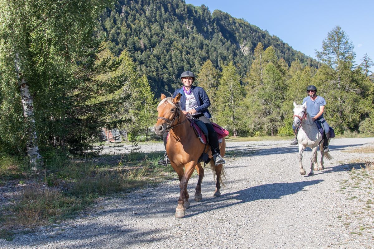
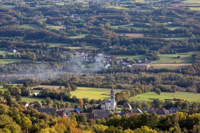
After a panoramic ascent taking you up above the Gap area, you are under tree cover until you reach Notre-Dame de Bois-Vert. The route then runs along the banks of the Drac before rising uphill to the Lac de L'Aulagnier. Very easy to negotiate, it runs into the tapestry of fields and hedgerows of Champsaur and returns along the Gap canal side. It then leads through the Bois de Saint-Laurant wood before returning to the Bayard plateau.
Description
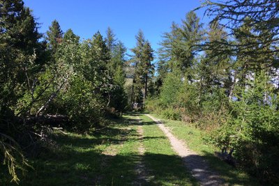
From Bayard, head uphill to the Col de Gleize, taking the time to enjoy beautiful views over the Gap region. The route carries on through woods until you come to Notre-Dame de Bois-Vert. From here, head downhill until you reach Les Barraques. After the bridge, the Pont de Saint-Bonnet, follow the banks of the Drac and climb uphill to the Lac de L'Aulagnier. Pass through landscapes of fields and hedgerows until you come to a watermill, the Moulin de Chabottes, and then follow the Gap canal until you reach "La Ligne", a former railway line, and Serre Richard. Finally, go through the Bois de St-Laurent and across the Bayard plateau.
- Departure : Gap Bayard
- Arrival : Le Domaine
- Towns crossed : Gap, Laye, La Fare-en-Champsaur, Saint-Bonnet-en-Champsaur, Saint-Julien-en-Champsaur, Buissard, Chabottes, Forest-Saint-Julien, and Saint-Laurent-du-Cros
Altimetric profile
Recommandations
Take care when driving along the N85, at the Barraques roundabout and the bridge over the Drac (road traffic).
Access and parking
Parking :
Gap Bayard car park (golf course, petrol station, oxygenation centre)
Source

Parc national des Ecrinshttps://www.ecrins-parcnational.fr
Report a problem or an error
If you have found an error on this page or if you have noticed any problems during your hike, please report them to us here:


