
6-day tour between Écrins and Clarée
 Medium
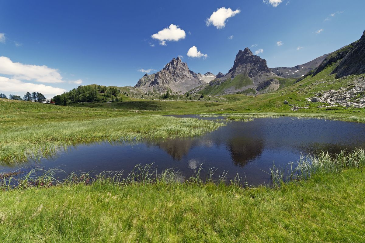
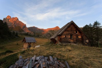
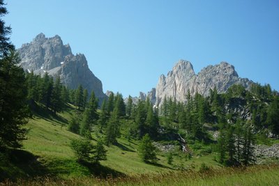
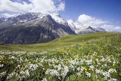
The route runs through passes once used by Briançon's farmers and miners, amid the iconic peaks towering over the area, such as the Grand Aréa and the Tête de la Cassille. The views give onto landscapes marked by herding activities above the great larch forests to the north while to the south, the massif of Les Écrins offers almost unearthly silhouettes reminiscent of the Himalayas beyond the Guisane valley. The wildlife here is symbolised by the ibex which frequents the massif in complete tranquillity, in this unspoiled landscape setting... Floral diversity abounds, from the banks of the Clarée to the rocky ground at high altitude.
Important information
Dans le Parc national des Écrins, les sentiers sont généralement praticables de la mi-juin à fin septembre.
Toutefois, les périodes d'accessibilité des itinéraires et les dates de pose des passerelles varient d’une année à l’autre en fonction de l’enneigement, des dégâts survenus en hiver et des conditions météorologiques.
Par ailleurs, l’état des sentiers n’est pas contrôlé quotidiennement et peut évoluer rapidement après un évènement météorologique (orage, crue...). Il est nécessaire de se renseigner auprès des maisons du parc national et des offices de tourisme du territoire avant votre sortie.
Pendant la randonnée, en cas de passage dégradé ou dangereux, faites demi-tour et signalez-le.
6 steps
Description
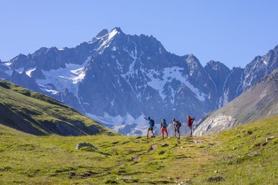
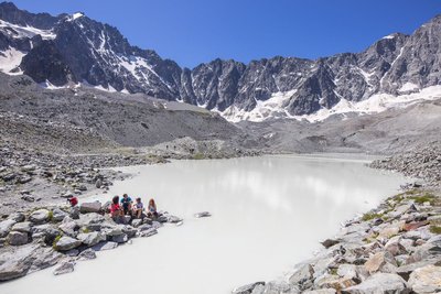
From the ParK's information centre at the Col du Lautaret, take the GR®50 which drops down to the Pied du Col and the alpine pastures, and on to the refuge of L’Alpe de Villar d’Arène. From the refuge, climb the footpath up to the Col d'Arsine (2,348m) and the Arsine glacial lake. Two large lakes at the foot of a cirque mark the end of the ascent (2,455m). Retrace your steps back to the footpath, which passes small lakes and a shepherd's hut. After a stretch of rocky ground and a few zigzags, you come to the Lac de La Douche and then a larch forest. Follow the banks of the mountain stream until you come to the village of Le Casset. Head uphill towards the Vallon de La Moulette. Carry on along the GR50 and 57 to the Col de Buffère and on to the refuge. From the refuge, follow the GR downhill towards the valley and continue towards the Pont de Lacha and La Meuille along a good path. Shortly after the chalets of La Meuille, you can go and admire the Fontcouverte waterfall. The footpath then climbs up to the chalets of Laraux and then on to the refuge of Le Chardonnet. From the refuge, you reach the Lac du Châtelard via a mainly grassy footpath. It then leads on gently to the Col du Chardonnet (2,638m). The descent starts along some stony terrain. After a few steep, vertiginous stretches, the footpath winds above the valley. Follow the Torrent du Rif mountain stream and continue through an alpine pasture strewn with boulders until you come to a point looking down over the chalets of L'Alpe du Lauzet, then drop back down to Pont de l'Alpe. At the hamlet of Le Lauzet, join the GR®50 which climbs up through the valley on the left-hand bank of the Guisane. You gradually approach the pass through these alpine pastures. After a few wide, gently rising bends you come to the pass at last!
- Departure : Col du Lautaret
- Arrival : Col du Lautaret
- Towns crossed : Le Monêtier-les-Bains, Villar-d'Arêne, and Névache
Altimetric profile
Recommandations
Before setting out for the refuges, enquire about their opening times.
Protect yourself from the sun in high summer, even on more shaded routes. Take sun cream.


Information desks
Tourist information office of La Clarée
Hameau de Ville-Haute, 05100 Névache
The office welcomes you from Monday to Saturday , from 9 a.m. to 12 p.m. and 1:30 p.m. to 5 p.m all year. The office is open every day during the summer holidays

Route de Grenoble, 05220 Le Monêtier les Bains
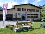
Information center "le Casset" (summer only)
Le Casset, 05220 Le Monêtier-les-bains
At the entrance of the hamlet of "le Casset" and near the core zone of the Park, a stop before or after your walk... Projections, documentation, books of the Park. Free admission. All animations of the Park are free unless otherwise stated.
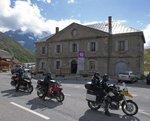
Information center "Col du Lautaret" (summer only)
Col du Lautaret, 05220 Le Monêtier-les-bains
Under the gaze of the Meije (3983 m) and surrounded by beautiful meadows celebrated in the great names of botany, the former hospice of the Lautaret called "refuge Napoleon" houses the reception and information Park center - Projections, documentation, books of the Park. Accessible to people with reduced mobility. Free admission.
Transport
Région Sud bus lines : https://zou.maregionsud.fr/
Auvergne-Rhône-Alpes bus lines : https://carsisere.auvergnerhonealpes.fr/
Isère bus lines : https://www.itinisere.fr/
Access and parking
From Briançon, take the D1091 towards Grenoble, pass through Le Monêtier-les-Bains and carry on until you reach the Col du Lautaret.
From Grenoble, take the D1091 towards Bourg d'Oisans and then continue straight on towards La Grave and on to the Col du Lautaret. Be aware that the Chambon tunnel is closed. You will have to take the emergency road.
Parking :
Source

Report a problem or an error
If you have found an error on this page or if you have noticed any problems during your hike, please report them to us here: