
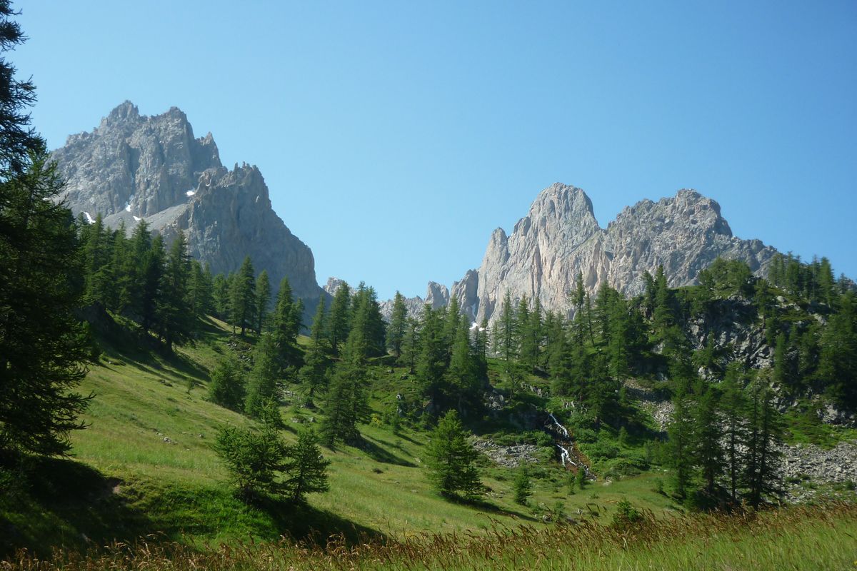
5. From the refuge of Le Chardonnet to Le Lauzet
 Medium
Important information
Dans le Parc national des Écrins, les sentiers sont généralement praticables de la mi-juin à fin septembre.
Toutefois, les périodes d'accessibilité des itinéraires et les dates de pose des passerelles varient d’une année à l’autre en fonction de l’enneigement, des dégâts survenus en hiver et des conditions météorologiques.
Par ailleurs, l’état des sentiers n’est pas contrôlé quotidiennement et peut évoluer rapidement après un évènement météorologique (orage, crue...). Il est nécessaire de se renseigner auprès des maisons du parc national et des offices de tourisme du territoire avant votre sortie.
Pendant la randonnée, en cas de passage dégradé ou dangereux, faites demi-tour et signalez-le.
Description
- Cross the footbridge on the right and climb up this small steep rise. The path leads past the Lac du Châtelard. It is mainly grassy and runs past boulders on the left and marshy areas lower down. It runs uphill more steeply for a short stretch before levelling out. It then leads on gently to the Col du Chardonnet (2,638m). The descent starts off along some stony terrain, and then leaves the GR57 which leads away along a balcony route.
- After a few steep, overhanging stretches, the footpath winds above the valley. At 2,200 metres, the footpath joins the footpath leading down from the Col de la Ponsonnière and they run together to form one good path following the Rif at first and then running through a boulder-strewn alpine pasture.
- The path arrives at a point above the chalets of L'Alpe du Lauzet (signed) which it leaves on its right to continue towards the valley. Follow the footpath running along the banks of the mountain stream and then drop downhill to the road and the Pont de l'Alpe.
- Departure : Chardonnet shelter
- Arrival : Le Lauzet
- Towns crossed : Névache and Le Monêtier-les-Bains
1 point of interest
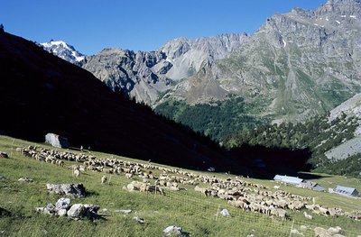
Troupeau de brebis à l'Alpe du Lauzet - © Parc national des Ecrins - Jean-Pierre Nicollet  Vernacular heritage
L'Alpe du Lauzet
L'Alpe du Lauzet is a mountain village at an altitude of 1,940 m, below the Aiguillette du Lauzet, which reaches 2,717 m, in the region of Monêtier-les-Bains. The village is aligned at mid-slope to avoid the avalanches that regularly fall into the bottom of the valley. The handful of houses were once used as summer pasture homes for the inhabitants of Le Lauzet in the Guisane valley. On the chapel door, a plaque recounts that five people were buried alive by an avalanche during the winter of 1892.
Altimetric profile
Sensitive areas
Alpine ibex
- Impacted practices:
- Aerial, , Land, Vertical
- Sensitivity periods:
- JunJulAugSep
- Contact:
- Parc National des Écrins
Julien Charron
julien.charron@ecrins-parcnational.fr
Alpine ibex
- Impacted practices:
- Aerial, , Land, Vertical
- Sensitivity periods:
- JunJulAugSep
- Contact:
- Parc National des Écrins
Julien Charron
julien.charron@ecrins-parcnational.fr
Alpine ibex
- Impacted practices:
- Aerial, , Land, Vertical
- Sensitivity periods:
- JunJulAugSep
- Contact:
- Parc National des Écrins
Julien Charron
julien.charron@ecrins-parcnational.fr
Peregrine falcon
- Impacted practices:
- Aerial, Vertical
- Sensitivity periods:
- FebMarAprMayJun
- Contact:
- Parc National des Écrins
Julien Charron
julien.charron@ecrins-parcnational.fr
Golden eagle
- Impacted practices:
- Aerial, , Vertical
- Sensitivity periods:
- JanFebMarAprMayJunJulAug
- Contact:
- Parc National des Écrins
Julien Charron
julien.charron@ecrins-parcnational.fr
Source

Report a problem or an error
If you have found an error on this page or if you have noticed any problems during your hike, please report them to us here: