

4-day tour of the Plateau d'Emparis from Mizoën
 Hard
HardImportant information
Dans le Parc national des Écrins, les sentiers sont généralement praticables de la mi-juin à fin septembre.
Toutefois, les périodes d'accessibilité des itinéraires et les dates de pose des passerelles varient d’une année à l’autre en fonction de l’enneigement, des dégâts survenus en hiver et des conditions météorologiques.
Par ailleurs, l’état des sentiers n’est pas contrôlé quotidiennement et peut évoluer rapidement après un évènement météorologique (orage, crue...). Il est nécessaire de se renseigner auprès des maisons du parc national et des offices de tourisme du territoire avant votre sortie.
Pendant la randonnée, en cas de passage dégradé ou dangereux, faites demi-tour et signalez-le.
4 steps

Description
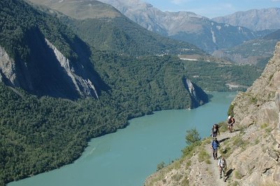
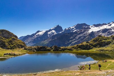
The second stage first follows the banks of the mountain stream La Pisse, taking you above the famous petrifying waterfall. From here, it is a short walk to the refuges of Le Fay and Les Mouterres along a country track. The path then leads to the Plateau d'Emparis and its two iconic lakes, Lac Lerié and Lac Noir, offering a view of the glaciers of Les Écrins and La Mieje.
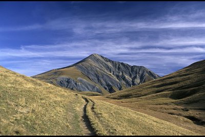
The third day is dominated by the imposing presence of the Pic du Mas de La Grave (3,020m). From the Buffe valley, the climb up to the Pic is a must for experienced hikers, and offers a 360° view. Then back to overnight in the refuges of Le Fay and Les Mouterres.
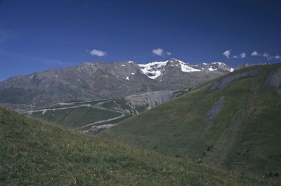
The last stage brings this trek to a gentle close. The descent runs through alpine pastures, leading to Mizoën along shaley footpaths. You return to civilisation as you pass by signs of life as it was once lived, through the ruins of alpine pasture huts and hand-crafted terraces.
- Towns crossed : Mizoën, La Grave, and Besse
Altimetric profile
Recommandations
Camping, fires and water sports (including swimming) are prohibited on the Emparis plateau during the summer. Dogs must be kept on a lead. Bivouacs are permitted between 7pm and 9am.
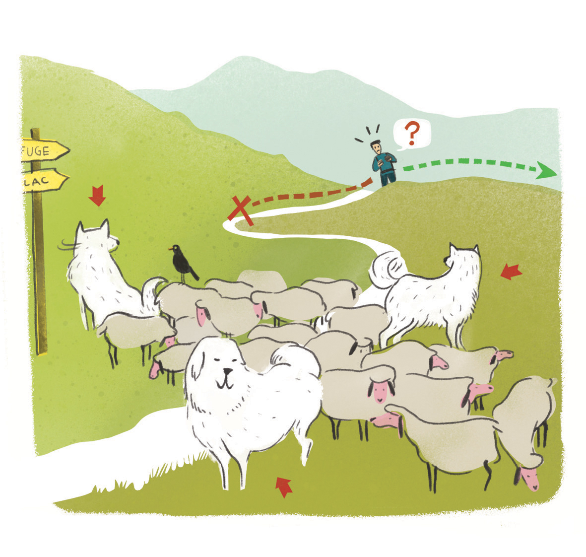 In mountain pastures, protection dogs are there to protect the herds from predators (wolves, etc.).
When I hike I adapt my behavior by going around the herd and pausing for the dog to identify me.
Find out more about the actions to adopt with the article "Protection dogs: a context and actions to adopt".
Tell us about your meeting by answering this survey.
Information desks
Rue Principale, 38142 Besse en Oisans
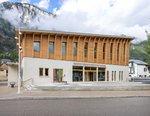
Oisans Park house
45 avenue de la République, 38520 Le Bourg d'Oisans
Video presentation of the natural resources of the Oisans mountain and its crafts. Information, documentation about the Park, projections, reading space for children. Accessible to people with reduced mobility. Free admission. All animations of the Park are free unless otherwise stated.
Transport
By bus :
Bus lines in Région Sud : https://zou.maregionsud.fr/
Bus lines in Auvergne-Rhône-Alpes : https://carsisere.auvergnerhonealpes.fr/
Bus lines in Isère : https://www.itinisere.fr/
Access and parking
Parking :
More information


Source

Report a problem or an error
If you have found an error on this page or if you have noticed any problems during your hike, please report them to us here: