7-day Tour du Taillefer
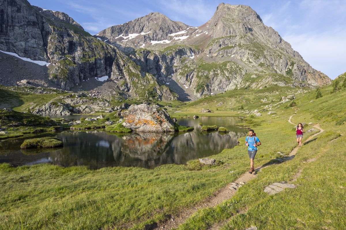
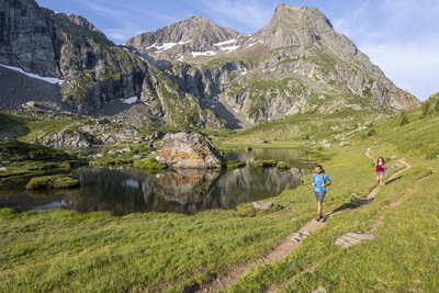
A very unusual summit in the Massif des Ecrins, the Taillefer provides whoever comes close to it with the memory of a very special atmosphere. To get there, you follow ancestral paths, moving between charming villages and exceptional panoramas. And we arrive at last: right in the middle of the lakes and peat bogs, the high Taillefer plateau is unveiled and stands out as the high point of the trip.
Important information
Dans le Parc national des Écrins, les sentiers sont généralement praticables de la mi-juin à fin septembre.
Toutefois, les périodes d'accessibilité des itinéraires et les dates de pose des passerelles varient d’une année à l’autre en fonction de l’enneigement, des dégâts survenus en hiver et des conditions météorologiques.
Par ailleurs, l’état des sentiers n’est pas contrôlé quotidiennement et peut évoluer rapidement après un évènement météorologique (orage, crue...). Il est nécessaire de se renseigner auprès des maisons du parc national et des offices de tourisme du territoire avant votre sortie.
Pendant la randonnée, en cas de passage dégradé ou dangereux, faites demi-tour et signalez-le.
6 steps
Description
The tour du Taillefer has 7 stages (with the option of just 6).
It starts from Alpe du Grand Serre (a departure from the village of Valbonnais is also possible).
You start off by following the Roizonne valley to the charming little Alpine village of Rif Bruyant.
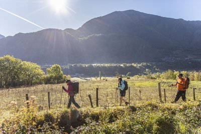
On the second day, you explore the Roizonne valley and its villages, but also cross the first col of the trip, the Col de Plan Collet (1,356 m), which opens up a view over the Dévoluy and Les Ecrins, and takes you to the Valbonnais valley.
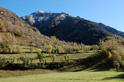
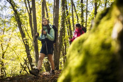
On the 3rd and 4th days, you walk along the Bonne and Malsanne valleys, through villages, hamlets, fields and woods, and rise slowly up to Col d'Ornon (1,360 m).
From stage 5, you leave the bottom of the valley for the high mountains, via the Col de Corbières (1,926 m), and the small mountain village of Villard-Reymond (second highest village in France).
The next day, you go down towards the Lignarre torrent, which you cross at the village of La Palud, before going up towards the hamlet of Ornon and tackling the ascent leading to the Taillefer refuge (2,056 m). You begin to explore these magnificent landscapes and the special atmosphere of the lake plateau, which you will fully experience the next day for your last stage, which takes you back to the resort of Alpe du Grand Serre.
- Departure : Alpe du Grand Serre
- Arrival : Alpe du Grand Serre
- Towns crossed : La Morte, Lavaldens, Oris-en-Rattier, Valbonnais, Entraigues, Le Périer, Chantelouve, Ornon, Villard-Reymond, Oulles, and Livet-et-Gavet
Altimetric profile
Recommandations
ATTENTION: Bivouacs between 7pm and 9am is allowed, but in dedicated areas on the Taillefer plateau.
Camping, fires and water sports (including swimming) are prohibited on the Taillefer plateau. Dogs must be kept on a leash.
Some sections of the route, especially on the Taillefer Plateau, may be snowed under early in the season - ask for information before setting off.
Some parts of the route are on the road, so be careful.
Consult the specific recommendations for each stage.
 In mountain pastures, protection dogs are there to protect the herds from predators (wolves, etc.).
When I hike I adapt my behavior by going around the herd and pausing for the dog to identify me.
Find out more about the actions to adopt with the article "Protection dogs: a context and actions to adopt".
Tell us about your meeting by answering this survey.
Information desks
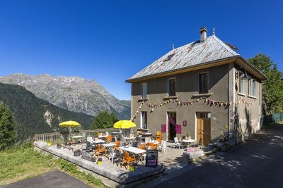
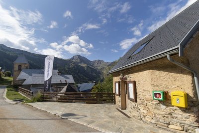
Maison du Parc du Valbonnais
Place du Docteur Eyraud, 38740 Entraigues
Reception, information, temporary exhibition room, reading room and video-projection on demand. Shop: products and works of the Park. Free admission. All animations of the Park are free unless otherwise stated.
Transport
By train, Grenoble SNCF station 40 kilometres away
www.voyages-sncf.com
By bus :
- Bus lines in Région Sud : https://zou.maregionsud.fr/
- Bus lines in Auvergne-Rhône-Alpes : https://carsisere.auvergnerhonealpes.fr/
- Bus lines in Isère : https://www.itinisere.fr/
Access and parking
From Grenoble, head for Gap-Sisteron along the A480 motorway. Take exit n°8 "Stations de l'Oisans" and follow the D1091 to Bourg d'Oisans. Take the Alpe du Grand Serre exit and follow the D114.
From Bourg d'Oisans, follow the D1091 towards Grenoble. In Séchilienne, take the D113, then the D114 to the station.
Traffic news: 08 92 69 19 77
Parking :
More information
Source

Report a problem or an error
If you have found an error on this page or if you have noticed any problems during your hike, please report them to us here: