The GR® 54
The mythical itinerary of the Southern Alps
![]()
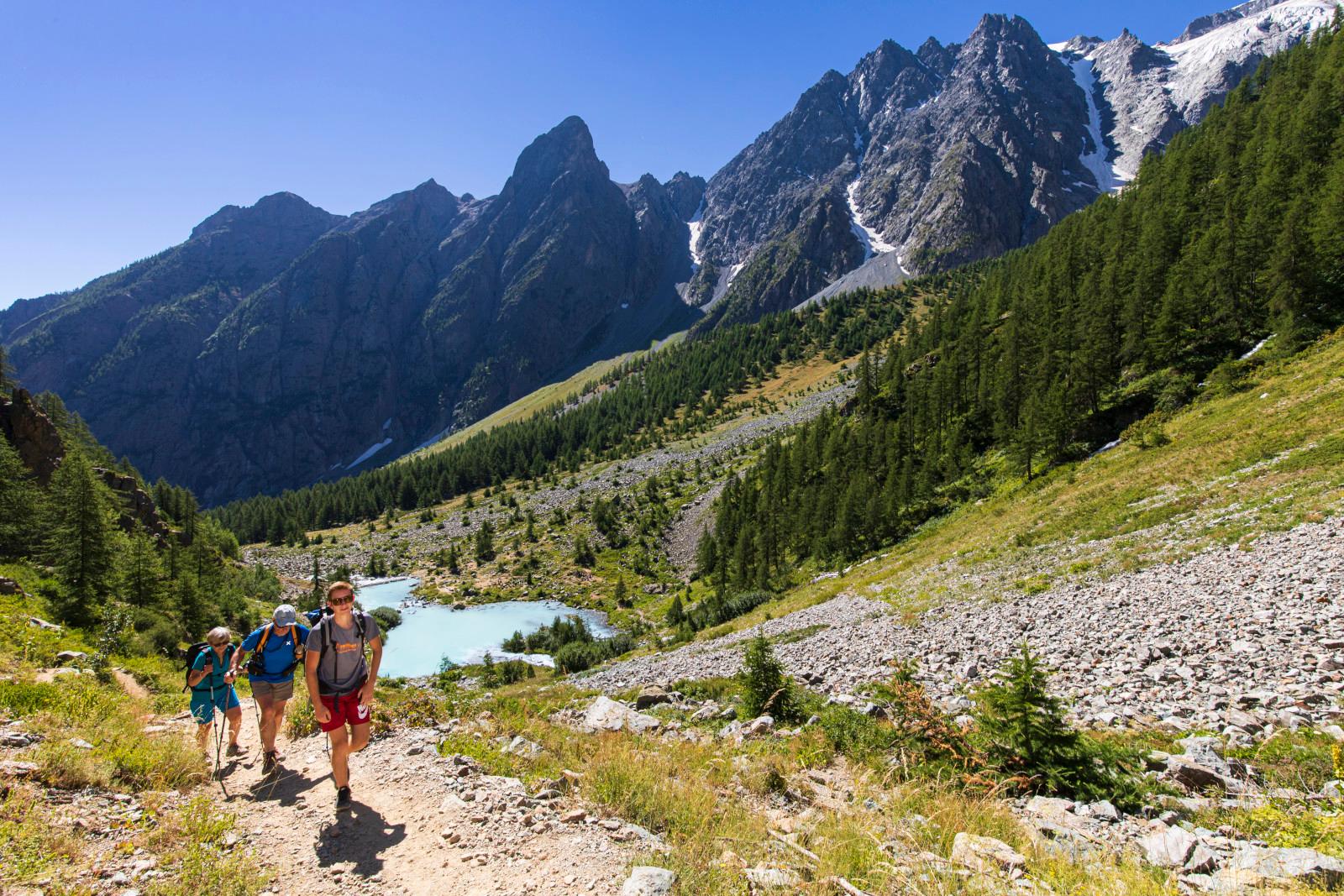
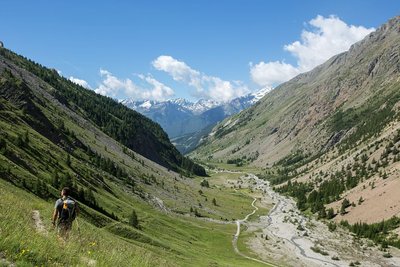
Discover the GR® 54 - Tour de l'Oisans and Tour des Écrins, at the heart of the Écrins National Park. This great mountain hiking site sets you up against some of the major mountain-climbing sites, where the pioneers accomplished some of the most glorious achievements in Alpine climbing. The Meije (3983 m), the Barre des Écrins (4102 m) are names to dream about, and seeing them is an adventure!
The "most mountainous of the GR® Alpine Trilogy footpaths" (with Mont-Blanc and the Vanoise) is accessible to experienced hiking fans. The "54" links challenging stages, spiced up with tricky, technical passages. From Alpine valleys to majestic mountain passes, the trail winds its way through an unspoilt setting marked by high mountains.
The GR® 54 is an adventure of 10 to 15 days for the most battle-hardened visitors. If you want to take it a little easier, you can cut up the trail into "portions" and savour them fully for a week or a weekend break. But, whatever your choice, at the end you can say to yourself that you have experienced a major mountain hike!
Birth of a legendary trail...
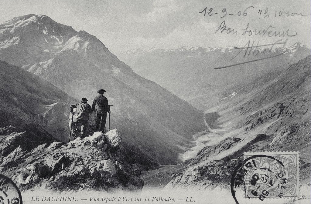
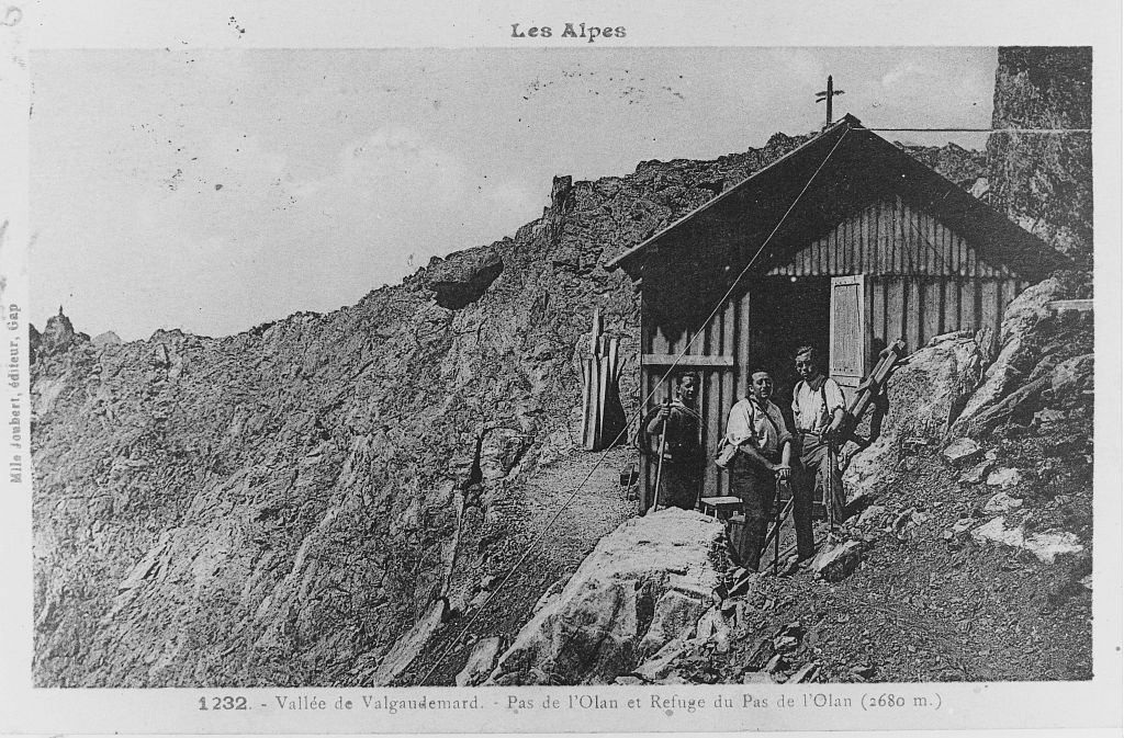
The footpath was the dream of Roger Canac, a mountain guide, teacher and writer: there was already a Tour du Mont-Blanc, so why not a Tour des Écrins too?
During winter 1962 - 1963, a few friends made use of whatever came to hand to mark out a route on a map, then a viable trail. They made contact with people they knew in the different valleys, seeking out places to sleep at each stage (mountain refuge, big dormitories, etc..).
In spring 1964, the trail was officially named the "GR® 54". At that time, some mountain passes, such as Aup Martin, had not been crossed for several decades. The first hikers felt like real pioneers! In fact, they were following very old pathways used by the inhabitants of the neighbouring valleys, on foot and sometimes with beasts of burden, as short-cuts over the mountain passes.
At that time, there was already talk of creating an Écrins National Park. It would finally open 10 years later, but it already benefited from a network of footpaths along which visitors could explore the prestigious valleys and summits of the range.
A footpath with multiple possibilities
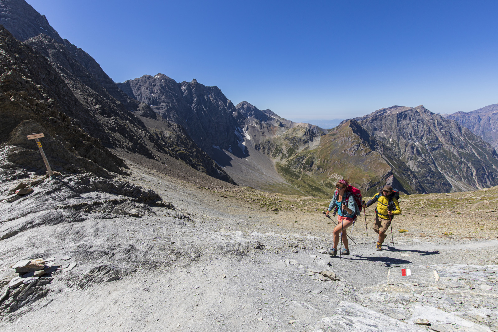
The GR® 54 is one of the trilogy of major hiking trails in the French Alps (with Mont Blanc and the Vanoise). But it is without doubt the most untamed of all, and the most difficult: A journey of 184 kilometres, 14 mountain passes and 12 800 m of difference in level.
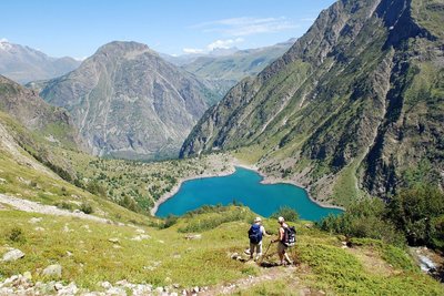
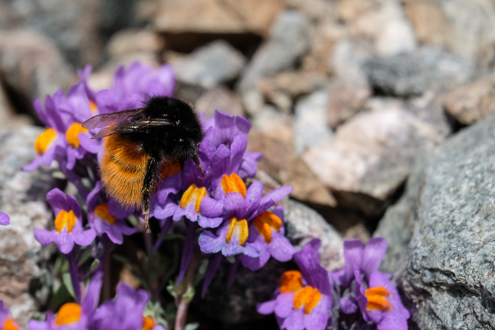
A trek through Alpine villages, deep valleys and high mountain passes, watched over by the region's distinctive animals, which are discrete but present.
Live the experience
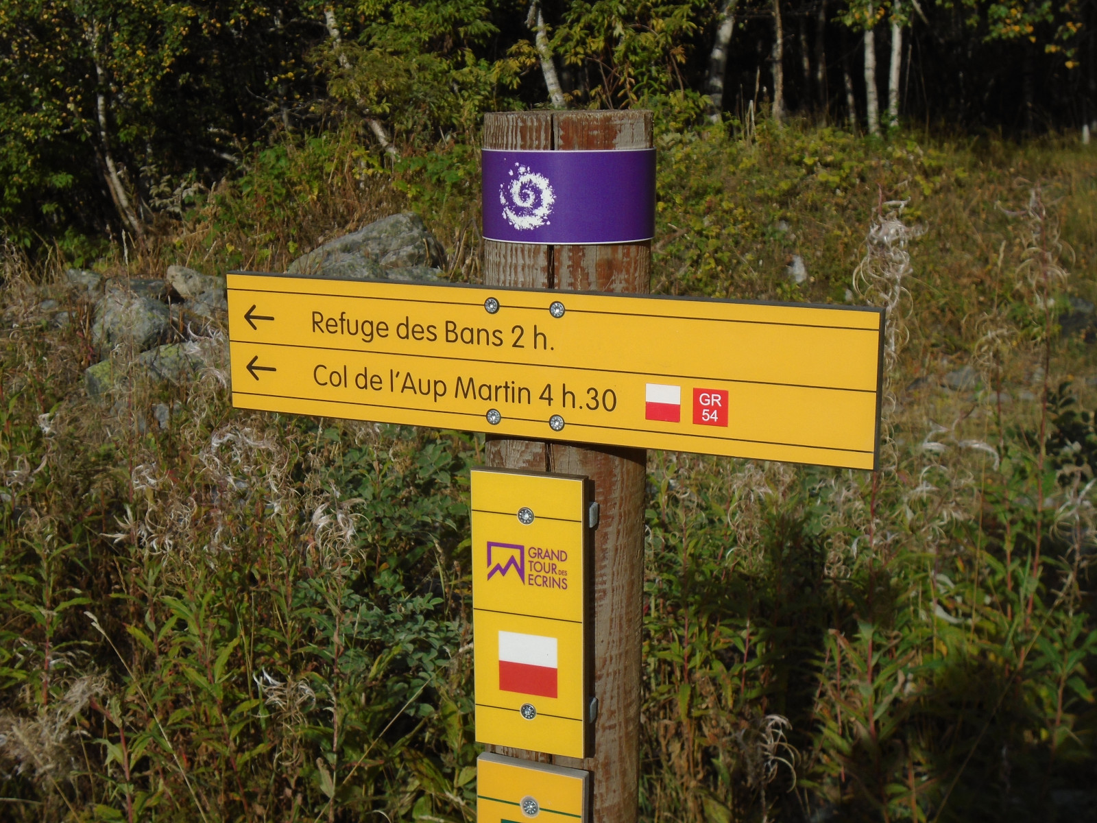
- GR® 54 from Bourg d'Oisans
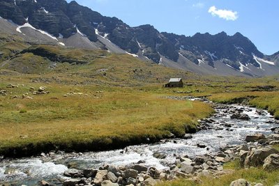
This demanding trail begins with the help of handrails to reach the villages up on the mountainside. The steep slope leads battle-hardened hikers in the footsteps of the pioneers of the Écrins, visiting the most isolated mountain pastures, the high glacier lakes and the Onde mountain stream.
- GR® 54 from l'Argentière-la-Bessée
Two days longer than the GR® 54 from Le Bourg d'Oisans, this trail begins gently along the Onde mountain stream, as far as the foot of La Pousterle mountain pass. It joins up with the GR® 54 at the starting point of Le Bourg d'Oisans, by the Pas de la Cavale and towards the untamed Champsaur. On the way back, the trails separate again at Vallouise. The last stage is gentler and arrives, after La Pousterle mountain pass, which we left behind two weeks earlier, at L'Argentière-les-Écrins.
- GR® 54 from La Chapelle-en-Valgaudemar
Au travers de ce départ est proposé une version plus courte de l’itinéraire : 12 jours pour une distance de 190 km. C’est en même temps une variante qui, en quittant le chemin traditionnel, permet d’explorer davantage de paysages emblématiques des Écrins.
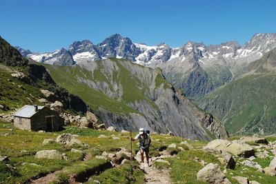
- GR® 54 from La Grave
Des sommets emblématiques, des cols à l'accès parfois difficile, des refuges accueillants et une faune et flore d'exception attendent les randonneurs au départ de ce haut lieu de l'alpinisme qu’est La Grave. Le petit plus de cet itinéraire ? Un détour par la variante alpine de l'Olan sur les hauteurs de la vallée du Valgaudemar pour profiter d'une vue spectaculaire.
Recommandations
The best time to do the tour is between the end of June and mid-September. Find out about weather conditions and snow on the mountain passes in early summer. Some passages, near the high mountains, go across tricky terrain.
It is possible to camp outside for the night all along the GR® (see regulations for the central part of the National Park) and to sleep in campsites, hotels, gîtes or refuges. For some stages you will need to take along your own food.
This trail partly goes through the centre of the National Park.
Source
