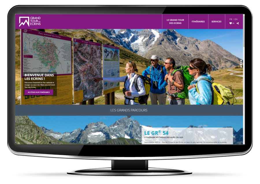
The mobile website
grand-tour-ecrins.fr
The website is a useful tool for preparing your tour of the Écrins range.
It has a wide range of access points, useful functions and content:
- Search for hiking trips to suit you (duration, climb, place, etc.)
- Consult practical and illustrated information files with visitors' experiences, descriptions, pictures and heritage (animals, pastoralism, etc.)
- Navigate with the interactive map from the IGN Geoportal
- Choose your accommodation and find all the services for hikers
- Download or print your PDF file or your GPS route
All the pathways at yout fingertips !
The Grand Tour des Écrins has its own mobile application for smartphones and tablets. Here you can find all the practical information about the GR® 54 and the "Balcons des Écrins" itineraries.
You can use this innovative and practical tool:
- To select your hiking route according to your criteria (duration, climb, theme, etc.) or with the interactive map of the region
- Take the files and detailed maps with you by downloading them one by one over wifi or 3G/4G to use them in the mountains without a network
- Navigate on the ground with the GPS on your smartphone or tablet
- Receive alerts about local heritage near the footpath via the GPS
- Find out about the services for visitors near the hiking routes
The mobile application is now available for free on Android and iOS (iPhone and iPad)
Source

Parc national des Ecrinshttps://www.ecrins-parcnational.fr