
1. From Villar-d'Arène to the Refuge de l'Aigle (approach)
 Hard
HardClassic access via the north slope, the Col du Bec, the Vire Amieux ledge and the high Tabuchet glacier : F+ "Facile +" (easy, upper band) (35° on snow and II on rock)
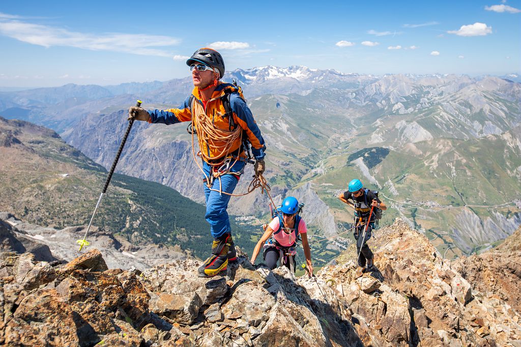
We're heading for l'Aigle, a hut perched on a rock at an altitude of 3450m, a hut that lives up to its name. L'Aigle is one of the legendary huts in the Écrins, and also the highest in the range, welcoming climbers who have come here to test their mettle on the many nearby ascents, including the Meije Orientale.
Important information
Dans le Parc national des Écrins, les sentiers sont généralement praticables de la mi-juin à fin septembre.
Toutefois, les périodes d'accessibilité des itinéraires et les dates de pose des passerelles varient d’une année à l’autre en fonction de l’enneigement, des dégâts survenus en hiver et des conditions météorologiques.
Par ailleurs, l’état des sentiers n’est pas contrôlé quotidiennement et peut évoluer rapidement après un évènement météorologique (orage, crue...). Il est nécessaire de se renseigner auprès des maisons du parc national et des offices de tourisme du territoire avant votre sortie.
Pendant la randonnée, en cas de passage dégradé ou dangereux, faites demi-tour et signalez-le.
Description
Immediately after crossing the Romanche, head right onto a good, well-worn trail (waymarked red) which winds steeply uphill.
- From L'Âne point 2,375, the trail is less clearly visible but still waymarked and cairned. Via rocky slopes and the névés of the Bec glacier
- You come to the approach to the Col du Bec 3,065 m. Climb the north arête of the Bec de l'Homme on the left (red arrows, no grade II climbing), to the base of the Vire Amieux ledge (3,200 m, cairn), allowing descent of its right flank onto the Tabuchet glacier via a long traverse equipped with a wire.
- Once set foot on the glacier (tricky depending on the conditions), ascend its right side (crevasses) until you reach the Rocher de l'Aigle and the refuge.
- Towns crossed : Villar-d'Arêne and La Grave
Altimetric profile
Sensitive areas
Golden eagle
- Impacted practices:
- Aerial, , Vertical
- Sensitivity periods:
- JanFebMarAprMayJunJulAug
- Contact:
- Parc National des Écrins
Julien Charron
julien.charron@ecrins-parcnational.fr
Recommandations


Access and parking
After Villar-d’Arêne, take the Pied du Col road and turn right before the hamlet to Le Pont Vieux ou des Brebis 1,662 m. Park in the car park before the bridge.
Parking :
More information

Source

Report a problem or an error
If you have found an error on this page or if you have noticed any problems during your hike, please report them to us here: